Användarmeny
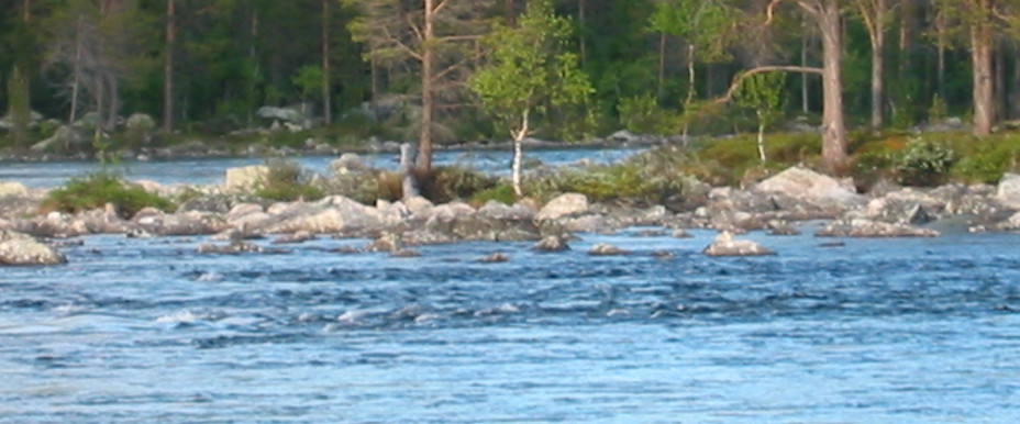

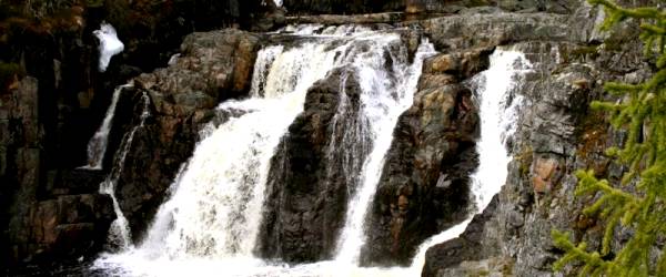
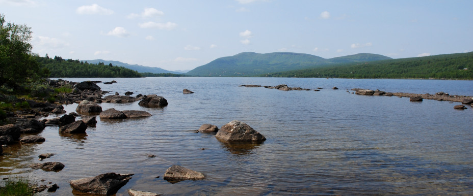
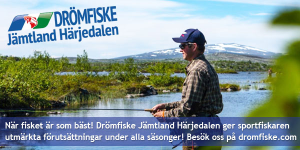
Jämtland is a large landscape and lies in the heart of the Scandinavian peninsula in Northern Europe. The whole of Jämtland is largely a highlands and its highest point is Storsylen with its 1,728 meters above sea level. Some 8 percent of Jamtland's total area consists of water and the landscape has two major watercourses, Ljungan and Indalsälven. They start both in Skanderna and then run east through the country to finally reach the Bothnian Sea. The water surfaces are usually around 300 meters above sea level. In the northernmost parts of the landscape, the mountains are around 900-1 000 meters high. Source: Wikipedia
Affiliated fishing areas in Härjedalen kommun
Bruksvallarnas KFO
Börtnans FVOF
Finnmarkens FVOF
Fiskepasset i Funäsdalen
Glissjöberg-Mosätt FVOF
Hede SFF
Hedevikens FVOF
Hån Vemdalens FVOF
Lillhärdals FVOF
Linsell-Ransjö FVO
Ljusnedals FVF
Lofsdalen-Glöte FVOF
Långå FVOF
Messlingens FVOF
Ransundets FVO
Rätans FVOF
Sveg-Herrö FVOF
Särvsjöns Samfällighetsförening
Tänndalssjön-Östersjöns FVOF
Tännäs Fiskecentrum AB
Ytterbergs FVOF
Ytterhogdals FVOF
Funäsdalens FVOF
In this area, there is one or more "put and take" waters.
The area includes one or more fishing areas for catch-and-release, i.e the fishes are gently put back into the water alive.
Börtnans FVOF
Finnmarkens FVOF
Fiskepasset i Funäsdalen
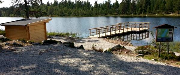
This area has one or more fishing spots available for disabled. For more information, please see the fishing area map, or contact Fiskepasset i Funäsdalen.
Glissjöberg-Mosätt FVOF
This area has one or more fishing spots available for disabled. For more information, please see the fishing area map, or contact Glissjöberg-Mosätt FVOF.
In this area, there is one or more "put and take" waters.
Hede SFF
In this area, there is one or more "put and take" waters.
Hedevikens FVOF
Hån Vemdalens FVOF
In this area, there is one or more "put and take" waters.
The area includes one or more fishing areas for catch-and-release, i.e the fishes are gently put back into the water alive.
Lillhärdals FVOF
In this area, there is one or more "put and take" waters.
Linsell-Ransjö FVO
Ljusnedals FVF
Lofsdalen-Glöte FVOF
Långå FVOF
This area has one or more fishing spots available for disabled. For more information, please see the fishing area map, or contact Långå FVOF.
In this area, there is one or more "put and take" waters.
Messlingens FVOF
Ransundets FVO
Rätans FVOF
Sveg-Herrö FVOF
This area has one or more fishing spots available for disabled. For more information, please see the fishing area map, or contact Sveg-Herrö FVOF.
In this area, there is one or more "put and take" waters.
Särvsjöns Samfällighetsförening
Tänndalssjön-Östersjöns FVOF
Tännäs Fiskecentrum AB
This area has one or more fishing spots available for disabled. For more information, please see the fishing area map, or contact Tännäs Fiskecentrum AB.
In this area, there is one or more "put and take" waters.
The area includes one or more fishing areas for catch-and-release, i.e the fishes are gently put back into the water alive.
Ytterbergs FVOF
This area has one or more fishing spots available for disabled. For more information, please see the fishing area map, or contact Ytterbergs FVOF.
In this area, there is one or more "put and take" waters.
Ytterhogdals FVOF
Funäsdalens FVOF
 Yep, We sell permits for this area!
 We don't sell permits in this area
Catch reports
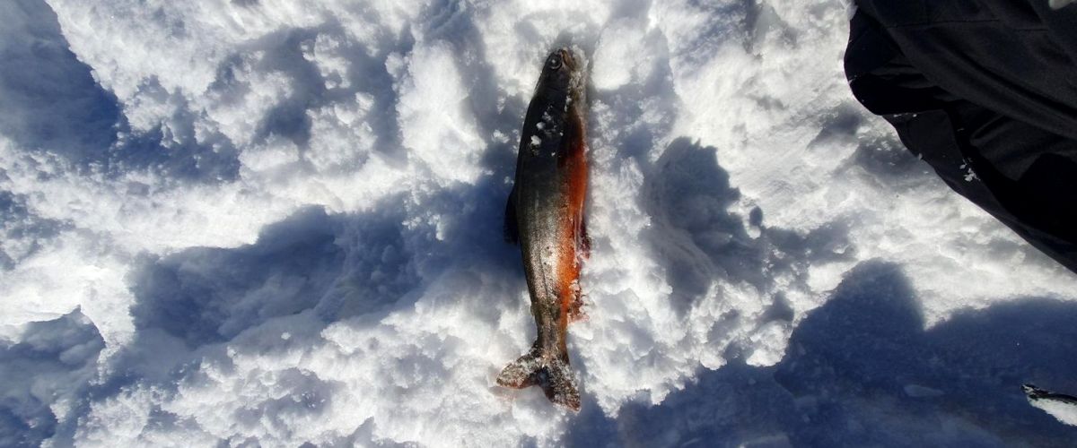
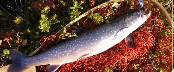
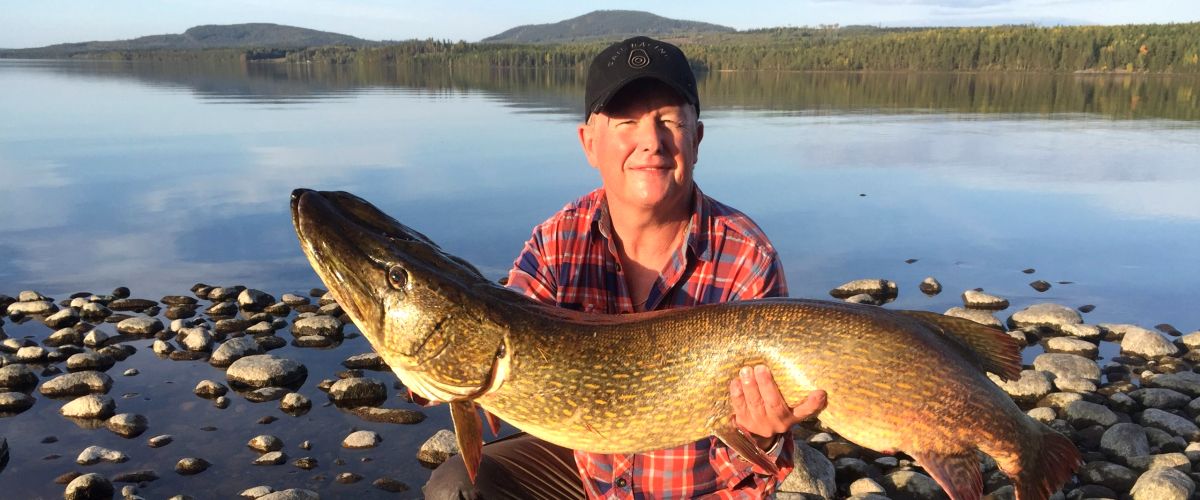
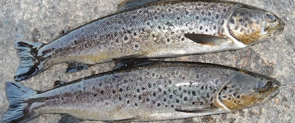
The most recent catch reports Härjedalen kommunFishing guides in Härjedalen kommun
Here you will find Guides and Instructors operating in the swedish area of Härjedalen kommun. Many of these guides also work as freelance guides in other parts of the country and the world.
Your cart is empty.