Borken Såkens FVO manages the following waters: Borken, Halgen, Hemgölen, Hörsjön, Kvarnsjön, Lilla Engölen, Stengölen, St Gullringsvattnet, St Engölen, Såken, Trihörn.
Borken Såkens FVO is located about 10 km northeast of Åtvidaberg towards Fröjerum. Depth maps can be viewed on Lowrance C-Map https://www.genesismaps.com/SocialMap.
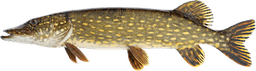
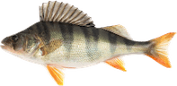
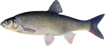
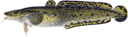
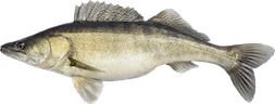
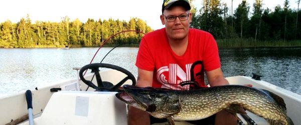
Big fish can be found in the lakes. The largest pike caught with hand gear weighed 12.6kg and the largest perch caught with an ice pick weighed 2.4kg. So hold on to your gear!
- Launching ramps are available for the following lakes: Såken, Borken, Trihörn, Hörsjön, Halgen, St Gullringsvattnet
- Boat rental: Kvarnsjön, Halgen and Hörsjön 070 - 260 36 88 Karin Andersson.
Boat ramps
Important information! Not all ramps are suitable for 2WD and heavy boats. All vehicles must be parked after loading to avoid blocking the ramp. The ramp at Halgen may be closed some weeks between May and September due to cattle grazing. Information when the closure occurs is reported on our Facebook page. Otherwise, call our contact person.
Såken
https://goo.gl/maps/AaEAxS5dPuDyZvnMA
Borken
https://goo.gl/maps/RPZiR4eSJJS2
In the northwest corner of Lilla borken there is a shallow passage over to Borken.
Trihörn
https://goo.gl/maps/6e6RbZFgRAz
Halgen
[https://goo.gl/maps/2PXnQWhpzG42](https://l.facebook.com/l.php?u=https%3A%2F%2Fgoo.gl%2Fmaps%2F2PXnQWhpzG42&h=ATMMxIFBKdwvAKceE3BpKVrez_sI5Fh2Ahq0W_Hwm4Tnx31QS_ar-Ig74p311h0BmWCkYy3a-WQ39tQ78HNAF7k1jiXWUg8UXnVOJ3x4BaXCBi-EpJnzn1I1WdqIc2SSDE21 fDrG76ZSrF4-3-nK_vw&enc=AZOVnFrWfIZKtnkk-ci6UKrApHctGZKttodvTVuqkjZ_7-hBDojbWwKqkVnhVz-SPOR5zg2wdSrW3eaX7QI3zapdQ68DRgucVK 77x8JU_7QmNFcUjwZ-GDkG3XKKhUhE2IPR7ogf98uwsoPGIXgWgYub8HTWazjT0slkY0lt3j78zKyLwu998EMPYrJaeIOJsWAMl7oCR98xKvgeZgz_Xasl&s=1)
Hörsjön
[https://goo.gl/maps/uciC7KZULoE2](https://l.facebook.com/l.php?u=https%3A%2F%2Fgoo.gl%2Fmaps%2FuciC7KZULoE2&h=ATPzuS0I-uB7K8bBYqZLIpszUv7RSO8RP3t8NYnh05Je0yg0C180yyon84BNrlipdWlClu1M7VG0EplgwGRM1RjLPBh0BeaJOoYXfYSX11FLGFB_rfmfW1QcIp3U-TZ5IFA4 GPteDdhhqKtin4gzT44&enc=AZOiv7Tet1pgNDGHmWeZmg-QwfpupP6J2s60O_IOaLp7_dLolf_hzFZ8G2HvLQZhAQZ2expZDNm3q4Ayv7Dmb_f0TFXooHv5HO 9G4XLbu4Tf_pOMQyzOR3H48SstE5whuRk42NskXLPtj7-U42ApEHUJ9M6J4M13z2EcX2NKtkQ6du-ylfW96sbn4chhiPHqI630OD3Y3MIFWJH8XNOIs49H&s=1)
St. Gullringsvattnet
https://maps.app.goo.gl/qxiLcD3EvFAKCAj98?g_st=ac
The ramp is in a pasture where cattle can roam, parking in the pasture is at your own risk.
It is possible to park along the barn.
If there are animals in the pasture, be sure to close it after you.
For more information, see Contacts below!