.jpg&w=3840&q=75)
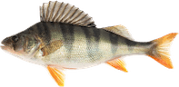
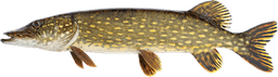
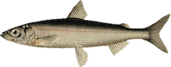
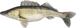
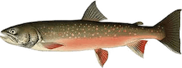
Forsa fvo is in charge of the fishing waters in and around Forsa, see the map for further information. There is everything from small, hard-to-reach streams with brook trout and brook char to larger waters such as Långsjön/Storsjön with fine perch, pike and a small population of pike perch.
You can also take a boat all the way down to Ankarmon in Iggesund from Långsjön/Storsjön, which will be a pleasant excursion along the Dellångersån. Keep in mind that below the Ölsundsbron bridge down towards Iggesund, Iggesunds fvo rules apply.
There are also many other lakes on Forsa's fvo where you very rarely have to crowd with other fishermen that still contain finer perch and finer pike.
We also have the P&T waters Svartsjön and Bartjärn where only a 24-hour pass for Putntake is valid.
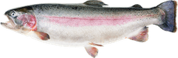
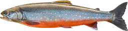
2022: In Svartsjön, both ready-to-catch char (800kg in 2022) and trout (approx. 250 kg in 2022) were stocked, and in Bartjärn, rainbow trout (400kg in 2022) were stocked. 2023: In Svartsjön, 150 kg of trout were stocked in June, and 200 kg of trout plus 200 kg of rainbow trout on November 23. In Bartjärn, 150 kg of rainbow trout were stocked during the month of July. 2024: On July 2, 200 kg of trout were stocked in Svartsjön, and on July 10, 150 kg of rainbow trout were stocked in Bartjärn. In the fall of 2024, after closing, another 100 kg of trout, 200 kg of rainbow trout, and 800 kg of char were stocked. 2025 On May 22, 150 kg of rainbow trout were stocked in Bartjärn. 2025 On July 2, 400 2-year-old trout were stocked in Svartsjön, from now on a minimum size of 30 cm applies to the trout. So all trout under 30 cm must be released again. 2025 During the autumn, 150 kg of ready-to-catch trout were stocked. 2025 Before the winter premiere, 950 kg of char and 200 kg of rainbow trout were stocked. The lake was closed to fishing until the winter premiere on 2026-01-24. 2026 During October, 200 kg of ready-to-catch trout were stocked in Svartsjön and 200 kg of ready-to-catch rainbow trout in Bartjärn.
Website: forsafvo.com There are also several lakes that are logged by fishermen who have posted them on: https://www.genesismaps.com/SocialMap . They can then be downloaded if you have a plotter that supports it. You can also just surf around there and see what the depth maps look like. Keep in mind that such depth maps may not always be completely accurate depending on how and when they were logged during the year.