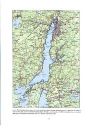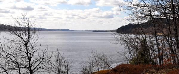
The Övre Åsunden fishery conservation area covers the entire Övre Åsunden and part of the lake to about 1.5 km south of the Fästeredsundsbron, a total of about 2000 ha. The lake is at most 43 m deep, but also has large shallow areas, the average depth is 15.2 m.
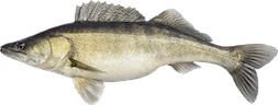
Ätran flows through the lake, which offers varied fishing for many species. Two pike-perch fishing competitions are held here annually, attracting participants from far and wide. Many foreign fishing tourists have made Åsunden their favorite water and return year after year.
The association runs an active fishery conservation and has recently completed a management and development plan. This will lead to us managing the lake's fantastic resources in an ecologically correct and sustainable way.
A brand new detailed depth map is now available. It is sold in a weatherproof version, wrapped in plastic and foldable for convenient use in a boat, on land or on ice. The map can be purchased at Sportfiskebutikerna, at the Bookstore or at the Tourist Office. The depth map is now also available in digital format for Lowrance plotters. This includes both Övre and Yttre Åsunden as well as Södra Sämsjön. (For ordering and more information see Contact persons below.)
NOTE! The depth map of Yttre Åsunden is now also ready and is sold at the same places as above.