Användarmeny
.jpg)
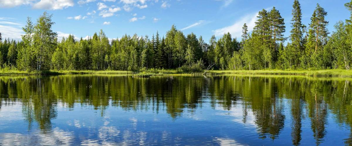
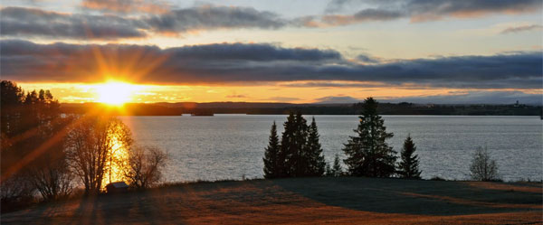
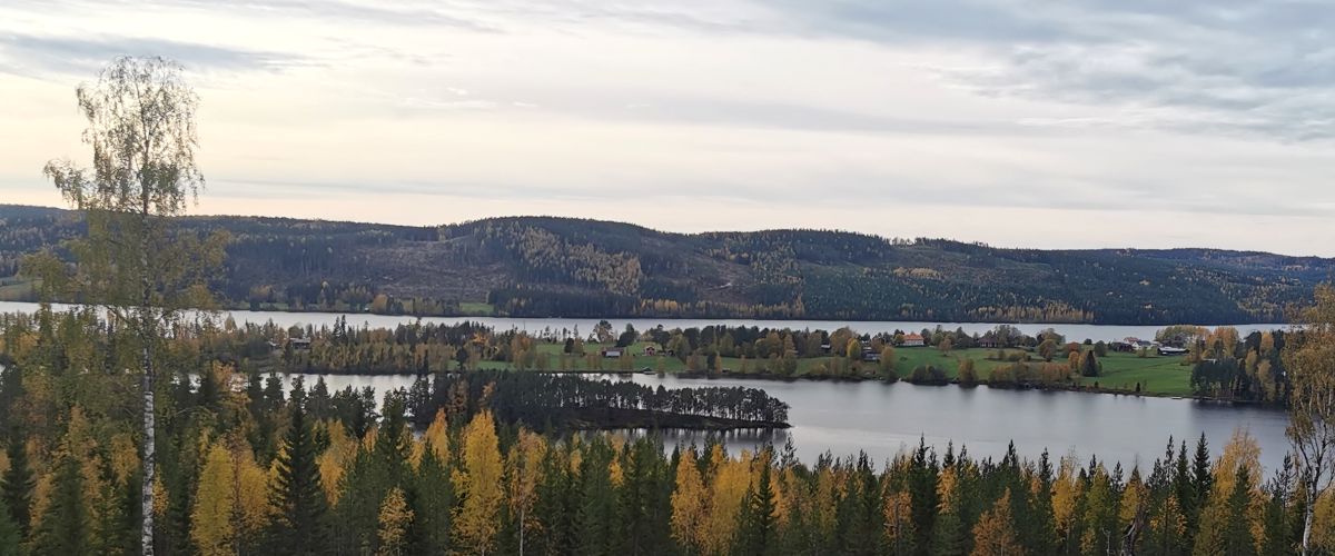
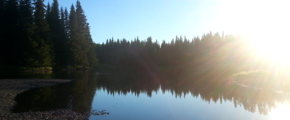
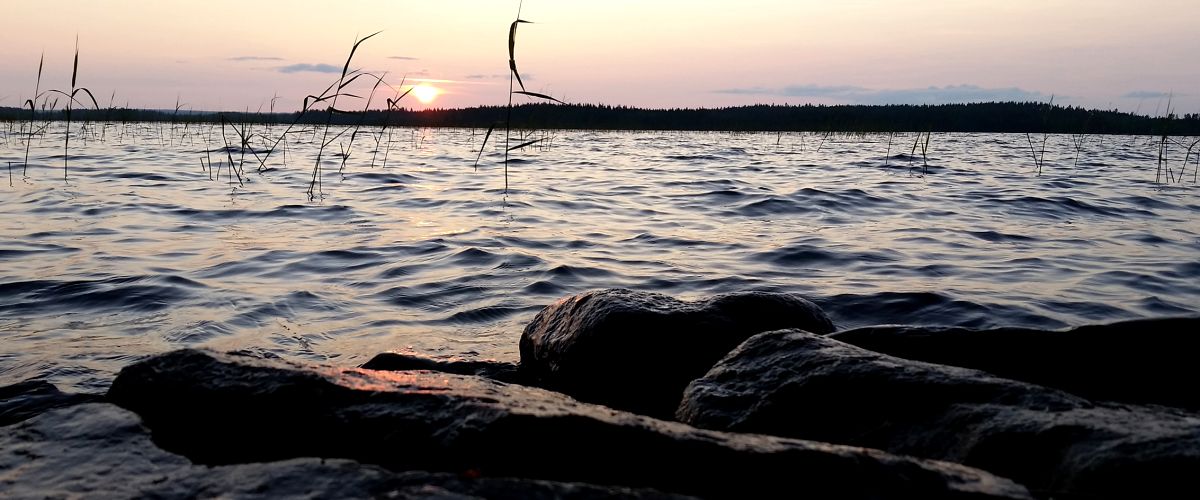
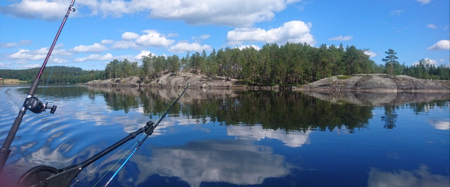
Jämtland is a large landscape and lies in the heart of the Scandinavian peninsula in Northern Europe. The whole of Jämtland is largely a highlands and its highest point is Storsylen with its 1,728 meters above sea level. Some 8 percent of Jamtland's total area consists of water and the landscape has two major watercourses, Ljungan and Indalsälven. They start both in Skanderna and then run east through the country to finally reach the Bothnian Sea. The water surfaces are usually around 300 meters above sea level. In the northernmost parts of the landscape, the mountains are around 900-1 000 meters high. Source: Wikipedia
Affiliated fishing areas in Östersund
Anvikssjöns FVOF
Bodsjö FVO
Granboforsens FVOF
Greningssjön-Halasjöns fvof
Ismundens FVOF
Litsbygden FVOF
Mjösjövattnets FVOF
Mo-Östersjöns FVO
Nedre Hårkans FVOF
Nedre Långans FVOF
Näcktens FVO
Sandvikssjön Edsforsens FVOF
Singsjövattnens fvof
Storsjön (Jämtland)
Sundsjöns fvof
Svartsjöarnas FVOF
Treälvskortet
Bodsjö FVO
This area has one or more fishing spots available for disabled. For more information, please see the fishing area map, or contact Bodsjö FVO.
In this area, there is one or more "put and take" waters.
Granboforsens FVOF
Greningssjön-Halasjöns fvof
Ismundens FVOF
In this area, there is one or more "put and take" waters.
Litsbygden FVOF
The area includes one or more fishing areas for catch-and-release, i.e the fishes are gently put back into the water alive.
Mjösjövattnets FVOF
Mo-Östersjöns FVO
Nedre Hårkans FVOF
Nedre Långans FVOF
Näcktens FVO
Sandvikssjön Edsforsens FVOF
This area has one or more fishing spots available for disabled. For more information, please see the fishing area map, or contact Sandvikssjön Edsforsens FVOF.
Singsjövattnens fvof
Storsjön (Jämtland)
Sundsjöns fvof
Svartsjöarnas FVOF
Treälvskortet
 Yep, We sell permits for this area!
 We don't sell permits in this area
The most recent catch reports
|
| |||||||||||||||||||||||||||||||||||||||||||||||||
|
| |||||||||||||||||||||||||||||||||||||||||||||||||
|
| |||||||||||||||||||||||||||||||||||||||||||||||||
|
| |||||||||||||||||||||||||||||||||||||||||||||||||
|
| |||||||||||||||||||||||||||||||||||||||||||||||||
Catch reports
The most recent catch reports Östersund kommunFishing guides in Östersund kommun
Here you will find Guides and Instructors operating in the swedish area of Östersund kommun. Many of these guides also work as freelance guides in other parts of the country and the world.
Your cart is empty.